
News From Nowhere Radical & Community Bookshop
not-for-profit - a workers'co-op - committed to social justice | 96 Bold Street, Liverpool L1 4HY - 0151 708 7270
Alan Godfrey Maps - Facsimiles of old local Ordnance Survey Maps.
Related categories: History & Biography / Local Interest /
Books are listed in order of year of publication - newest titles are at the top. There are 21 books in this booklist
-
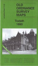
Toxteth 1890. Lancashire Sheet 113.02a. Coloured Edition (Facsimile of old Ordnance Survey Map) - by Introduction by Kay Parrott
£4.00 other format (2023) - ISBN 13: 9781847849076 | ISBN 10: 1847849075
Alan Godfrey Maps have published three versions of this map, showing how the area developed across the years. This 1890 version is in full colour, taken from the beautiful 1st Edition OS handcoloured map. The maps cover a busy area of south ... more
View book details -
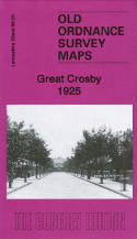
Great Crosby 1925. Lancashire Sheet 99.05b (Facsimile of old Ordnance Survey Map) - by Introduction by Kay Parrott
£3.50 other format (2023) - ISBN 13: 9781787216556 | ISBN 10: 1787216551
This map covers most of Great Crosby, with coverage stretching from Moor lane southward to Stuart Road. Features include Alexandra Park, Seafield Convent, New Mill, St Mary's College, St Luke's Church, Crosby House Farm, Nazareth House, Merchant ... more
View book details -
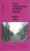
Anfield 1890. Lancashire Sheet 106.07a Coloured Edition (Facsimile of old Ordnance Survey Map) - by Introduction by Kay Parrott
£4.00 other format (2020) - ISBN 13: 9781787213524 | ISBN 10: 1787213528
lan Godfrey have published two versons of this detailed map (1890 and 1908), showing how the area developed across the years. The 1890 map is fully coloured, taken from the beautiful 1st edition OS handcoloured map. The maps cover the Anfiel ... more
View book details -
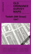
Toxteth (Mill Street) 1847. Liverpool Sheet 39 (Facsimile of old Ordnance Survey Map) - by Introduction by Kay Parrott
£3.50 other format (2012) - ISBN 13: 9781847845580 | ISBN 10: 1847845584
This very detailed map covers part of the Toxteth Park area. Coverage stretches from Grafton Street eastward to Berkley Street, and from Upper Stanhope Street southward to Northumberland Street. Features include St Patrick's RC Chapel, St ... more
View book details -
Liverpool (Vauxhall) 1864. Liverpool Sheet 19 (Facsimile of old Ordnance Survey Map) - by Introduction by Kay Parrott
£3.50 other format (2007) - ISBN 13: 9781847840707 | ISBN 10: 1847840701
This very detailed map covers the area of Liverpool around Vauxhall Road and Scotland Road. These roads run north-south through the map, as does Marybone to Bevington Hill. Features include part of the Leeds & Liverpool Canal, with New Basin and Ti ... more
View book details -

Liverpool (Dale Street) 1848-64. Liverpool Sheet 24 (Facsimile of old Ordnance Survey Map) - by Introduction by Kay Parrott
£3.50 other format (2004) - ISBN 13: 9781841516592 | ISBN 10: 1841516597
This wonderfully detailed map covers the area of Liverpool around Dale Street. Coverage stretches from Old Hall Street eastward to St George's Hall, and from Great Cross Hall Street southward to Williamson Square. The many features include The ... more
View book details -
Liverpool (Hanover Street) 1848-1864. Liverpool Sheet 29 (Facsimile of old Ordnance Survey Map) - by Introduction by Kay Parrott
£3.50 other format (2003) - ISBN 13: 9781841515144 | ISBN 10: 1841515140
This wonderfully detailed map covers the area of Liverpool around Hanover Street and Canning Place. Coverage stretches ftrom Canning Dock eastward to Slater Street, and from Lord Street southward to Lydia Ann Street. Features include the Canning Do ... more
View book details -
Woolton 1904: Lancashire Sheet 114.05 (Facsimile of old Ordnance Survey Map) - by Introduction by Kay Parrott
£3.50 other format (1997) - ISBN 13: 9780850548655 | ISBN 10: 0850548659
This detailed map covers the village of Woolton, SE of Liverpool, with part of Allerton, Coverage stretches from Allerton Road eastward to Halewood Road, and from Woolton Park southward to Doe Park. The village centre of Woolton is central to t ... more
View book details -
Kirkdale 1906. Lancashire Sheets 106.5 & 106.6 (Facsimile of old Ordnance Survey Map) - by Introduction by Naomi Evetts
£3.50 other format (1997) - ISBN 13: 9780850548709 | ISBN 10: 0850548705
The map covers a very busy area of north Liverpool, with coverage stretching from Regent Road eastward to Stanley Park, and from Bankhall Street southward to William Moult Street. Features include Lester Gardens, the west part of Stanley Park, Huskis ... more
View book details -
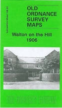
Walton on the Hill 1906. Lancashire Sheet 106.03 (Facsimile of old Ordnance Survey Map) - by Introduction by Kay Parrott
£3.50 other format (1997) - ISBN 13: 9780850549355 | ISBN 10: 0850549353
This detailed map covers the eastern part of Walton on the Hill, with coverage stretching from Walton Lane eastward to Strawberry Lane and Scarisbrick House. It was then a largely rural area, but features include much of Liverpool Cemetery, short str ... more
View book details -
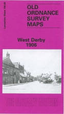
West Derby 1906. Lancashire Sheet 106.08 (Facsimile of old Ordnance Survey Map) - by Introduction by Kay Parrott
£3.50 other format (1995) - ISBN 13: 9780850547702 | ISBN 10: 0850547709
This detailed map covers the West Derby area, NE of Liverpool. Coverage stretches from Lark Hill Lane eastward to Deysbrook Lane; and from Sandfield Park northward to Almond Green. Features include St Mary's church, West Derby Orphanage, Cheshi ... more
View book details -
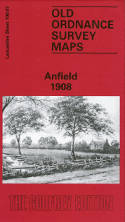
Anfield 1908. Lancashire Sheet 106.07 (Facsimile of old Ordnance Survey Map) - by Introduction by Naomi Evetts
£3.50 other format (1994) - ISBN 13: 9780850546729 | ISBN 10: 0850546729
Alan Godfrey have published two versons of this detailed map (1890 and 1908), showing how the area developed across the years. The 1890 map is fully coloured, taken from the beautiful 1st edition OS handcoloured map. The maps cover the Anfield a ... more
View book details -
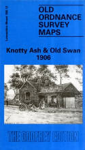
Knotty Ash and Old Swan 1906. Lancashire Sheet 106.12 (Facsimile of old Ordnance Survey Map) - by Introduction by Kay Parrott
£3.50 other format (1993) - ISBN 13: 9780850546200 | ISBN 10: 0850546206
This detailed map covers the area of east Liverpool around Old Swan and Knotty Ash. Coverage stretches from Church Road Stanley eastward to St John's Church Knotty Ash; and from Russian Drive southward to Oak Hill Park. Features include Knotty ... more
View book details -
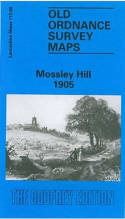
Mossley Hill 1905. Lancashire Sheet 113.08a (Facsimile of old Ordnance Survey Map) - by Introduction by Naomi Evetts
£3.50 other format (1992) - ISBN 13: 9780850545203 | ISBN 10: 085054520x
Alan Godfrey have published two versions of this map (1905 and 1925), showing how the area changed across the years. The maps cover much of the Mossley Hill area SE of Liverpool, including portions of Aigburth, Garston and Allerton. Coverage st ... more
View book details -
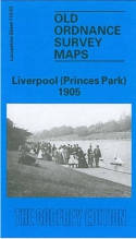
Liverpool (Princes Park) 1905. Lancashire Sheet 113.03 (Facsimile of old Ordnance Survey Map) - by Introduction by Naomi Evetts
£3.50 other format (1991) - ISBN 13: 9780850544121 | ISBN 10: 0850544122
This map covers a busy area of south Liverpool, largely comprising the eastern half of Toxteth, Princes Park Ward and Sefton Park. Coverage stretches from Admiral Street eastward to Green Bank, and from Eversley Street southward to Alexandra Drive. ... more
View book details -
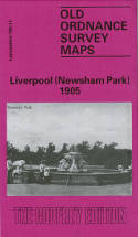
Liverpool (Newsham Park) 1905. Lancashire Sheet 106.11 (Facsimile of old Ordnance Survey Map) - by Introduction by Kay Parrott
£3.50 other format (1991) - ISBN 13: 9780850544534 | ISBN 10: 085054453x
This detailed map and busy map covers the area of north Liverpool around and to the south of Newsham Park. The map includes the eastern part of Everton, and other districts include Fairfield, Elm Park, Kensington Ward and Low Hill Ward. Coverag ... more
View book details -
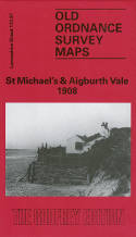
St Michael's & Aigburth Vale 1908. Lancashire Sheet 113.07 (Facsimile of old Ordnance Survey Map) - by Introduction by Naomi Evetts
£3.50 other format (1990) - ISBN 13: 9780850543636 | ISBN 10: 0850543630
Alan Godfrey have published two versions of this map (1908 and 1924), showing how the area changed across the years. The maps cover the area of south Liverpool around St Michael's, Aigburth Vale and the southern part of Sefton Park. Coverage ... more
View book details -
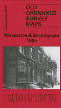
Wavertree & Broadgreen 1905. Lancashire Sheet 106.16 (Facsimile of old Ordnance Survey Map) - by Introduction by Kay Parrott
£3.50 other format (1990) - ISBN 13: 9780850543384 | ISBN 10: 085054338x
This detailed map covers the area of east Liverpool around Wavertree and Broad Green. Coverage stretches from Stevenson Street eastward to Rocky Lane, and from Binns Road southward to Fir Lane. Features include Victoria Park, east Wavertree, Wavert ... more
View book details -
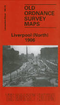
Liverpool (North) 1906. Lancashire Sheet 106.10b (Facsimile of old Ordnance Survey Map) - by Introduction by Naomi Evetts
£3.50 other format (1990) - ISBN 13: 9780850542950 | ISBN 10: 0850542952
This map is double-sided to provide maximum coverage. It covers a major northern part of the city, with coverage stretching from King Edward Street eastward to Everton Road, and from Conway Street southward to William Brown Street. Features inc ... more
View book details -
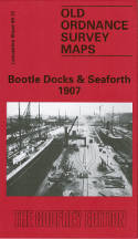
Bootle Docks and Seaforth 1907. Lancashire Sheet 99.13 (Facsimile of old Ordnance Survey Map) - by Introduction by Mike Greatbatch
£3.50 other format (1989) - ISBN 13: 9780850542455 | ISBN 10: 0850542456
This detailed map is double-sided for maximum coverage. The main map, sheet 99.13, covers much of Seaforth, together with part of north Bootle, including Linacre Ward. Coverage stretches from the coast inland to Salisbury Road, and from Narrowb ... more
View book details -
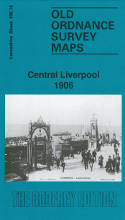
Central Liverpool 1906. Lancashire Sheet 106.14b (Facsimile of old Ordnance Survey Map) - by Introduction by Kay Parrott
£3.50 other format (1989) - ISBN 13: 9780850542264 | ISBN 10: 085054226x
This map covers the heart of Liverpool, with coverage stretching from Albert Dock and the Pierhead eastward to Abercromby Square, and from St George's Hall southward to Upper Parliament Street. It is a very busy map and the many features includ ... more
View book details
© News From Nowhere Co-operative Ltd IP24524R 2004-2024 | Privacy policy | Contact | return to top of page